Showing posts with label countryside walks. Show all posts

Thursday, 11 September 2014

South Downs Day 5: Petersfield to Cocking

Arriving back in London, I suddenly had to scramble for warm clothes.  The last two weeks of August ended up being dreary- cold and wet and windy for days on end.  Ah, this is the famous summertime weather I had been warned about.  How lucky I felt the June and July were spot-on perfect weather.  Although, it was hard to have sympathy when I'd ring up my friends from New York.  "It's hot and sticky and humid and SO HOT" and I'd be ah, I'm wearing a sweater and wool socks and I have the big down duvet on the bed.  

It had been a while since we hit the South Downs.  Finding accommodation on the trail has been kind of a problem, as we usually wait to see what the weather is predicted to be like before committing to a hike, and with only a handful of options trailside, it's easy to end up a little screwed.  

Luck would have it, and over a bank holiday weekend I found a room in the town of Cocking on a Sunday night.  We would strike out on Sunday morning from Petersfield, spend the night in Cocking, and make our way to the train station in Amberley on Monday.  Sure, there was a little rain in the forecast for Monday, but I figured it wasn't hiking in England until you've had a bit of a walking bath.
  

With cheery optimism, we set out from Petersfield.  The South Downs Way is a few miles south, near a hamlet called Buriton, but lucky for us, we could follow tree-lined footpaths in the countryside almost right away.


We came to a freshly mowed field that was awash with crows.  More than I maybe have ever seen.

They made a racket as we startled them and they collectively flew off.


But that was about all the noise we heard.


Kestrel


Buriton was slightly adorable, with thatched-roof cottages, an old church, and a duck pond.  I would have stopped to see if they had a pub (it's not a proper town unless it has a church and a pub)


 We didn't linger, and soon we were on the wide chalk hillsides on the South Downs.

It's been really amazing for us to be out here and see the changing landscape.  From the mud and bright greens of early spring, to the lush green summer, and now the harvested fields giving everything a golden glow.  


Across Harting Down, where we stopped for lunch on a handily-placed bench in the shade of some tall trees, with views over the valley and the North Downs.


The trail actually skirts around the next big hill, Beacon.  We debated the merits of the view versus "not actually doing the entire Southdowns trail" by leaving the trail for a mile, and began the trudge up the steep hill.  Completion certificate be damned!


It was so worth it- views to the Isle of Wight and the sea.


And....


we got a little airshow courtesy of the Red Darts.


We lazily made our way back down and re-joined the trail.

This is why I love the South Downs.  It's not difficult.  You have a big climb up the ridge when you start, and a climb down at the end of the day, but once you are on the ridge, you have mostly gentle elevation gains, unobstructed views, and a feeling you are far from everything.  It's just the most pleasant walking.   Plus, the chalk trail sheds water easily, so you are rarely in mud.  


We hit a little off-trail spot of interest, labeled on the OS map as the "Devils Jumps".  They ended up being a series of well-formed bronze age burial mounds.  That was just crazy- many thousands of years ago, people were cremated and buried here.


The skies were getting darker as we neared the village of Cocking.  An ominous humidity was hanging thick in the air.


I startled a group of pheasants who were busily doing the same thing that we were:


The blackberries were perfectly ripe weeks earlier than expected.  This might have been the slowest 14 easy miles we've ever had because of them.


We turned off the trail and walked the mile into the village of Cocking.  Looking back on the downs, what a tremulously elegant sight:


Cocking was a cute little village, and the name made me te-he-he every time I had to say.  We found a place of interest: a column of the villages' history.  It's too bad that it was so tall that we couldn't read anything near the top, but eh.  It seemed interesting.


And also kind of sad.


The B&B that we stayed had an adorable tea house.  You have to cross the cafe to get to your room.  The cakes proved too much for us, and we finished off our hike with a very English snack of Victoria Sponge and tea.  It was fantastic


It really made up for a dismal pub dinner.

Thursday, 10 July 2014

Hadrian's Wall day 1: The Adventure Needs to Start Somewhere

YOU GUYS!  I have just returned from an adventure!


For whatever reason, certain old relics of the Roman Empire have pulled me towards them.  The Aya Sofia, the Pont du Gard, various ruins in Africa and the Mideast, not to mention all of the good stuff in Italy.  

But the wall that Hadrian built...well, that's just special.  The idea was to put a firm barrier between the end of the Roman empire and the barbarian tribes of the North.  The narrowest part of what is now England became a huge military zone as legions of soldiers constructed this enormous wall stretching from sea to sea over 86 miles.  It was well-fortified, with forts and milecastles and manned turrets keeping a watchful eye to the lonely north.  Somehow, this only took six years to build, and considering that it was 10-20 feet wide and 11 feet high, with taller structures spaced out evenly along the wall, I stand impressed.  It takes me a year to make a pair of socks sometimes.    

By AD 410, Rome had started to collapse.  The northern frontier was abandoned, and the enormous wall was scavenged for building material over the centuries, knocked down to make way for roads, and cleared away for easier passage to the now-civilized North.

Today, parts of the wall still stands, bravely, against the elements.  Its surrounded by houses and towns and castles built with recycled wall stone.  It's a well-trodden National Trail that you can follow across England, and a UNESCO site.


I decided I was going to walk this trail.  

At first, my plan was to walk the entire thing from coast to coast.  After doing some research, I dropped that idea in favor for just walking the middle section.  Here, the wall remains more intact, the countryside wilder.  Lopping off the two big cities at the ends saves a couple days of having to walk through urbananity: Carlisle and Newcastle, neither have ever been mistaken for being "The Paris of the North".  Kind of cheating, but I really dislike roadside hiking, and I'd rather get right to the good stuff.


I hemmed and hawed and planned my route with some web resources and an OS map.  I decided to plan the trip from West to East as to have the wind at our backs- its much easier to have the rain pelting your backside then bearing the brunt of it with your eyes peering out under your hood, and it can be exausting walking for days head-on with the wind.  

We started out taking the train from London to Newcastle.  This would have been fine except everyone and their mothers was trying to get up North to Leeds to catch the start of the Tour de France.  Thanks, France.  Three hours on a cramped, airless, body-odor sealed tube did not a happy camper make.  It seemed like everywhere you turned, there was an elbow to knock into.

Once we hit Newcastle; cool damp bliss. We hopped a local train another hour and a half to the town of Haltwhistle, on the Cumbria Northumberland border.

This is a former mining area, with rows and rows of houses, built kissing-close and identical, yet surrounded by countryside.


Our first night was in the tiny hamlet of Greenhead, and we used the OS map to connect footpaths to stay off the main roads as much as possible to get there.

We were also very close the the Cheviot region, and there were lots of Cheviot sheep to be seen, along with Leicester Longwools, Dales, Blackface and Blueface Leicesters.


And there were birds!  I saw a spectacular amount of birds.  Oddly enough, not a single bird of prey, but pretty much everything else.

Oystercatcher
The skies were so moody and dark, and it had given us a good soaking off and on all afternoon, but never so menacing that it wasn't enjoyable.  


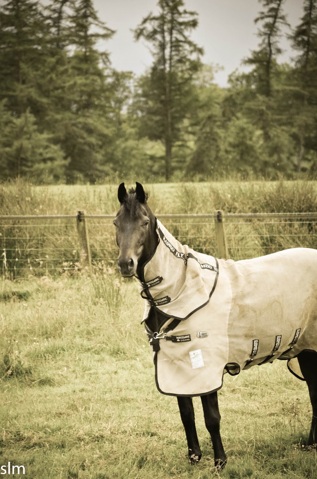
Even the horses wear Macs here...


Once again, I was amazed at just how lovely the countryside is here.  Never as dramatic as Switzerland, but just bucolic and postcard-pretty.


It was a lonely walk.  We saw no one except a couple passing motorist the entirety of the 6 mile amble.  It's always amazing that in a tiny country of 53 million, you can walk for hours and not see a soul.


Lapwings


We ended up taking a round-about way on public bridleways and joined up with the Hadrian's wall trail for a bit.  After that hellish first train ride, I was more than happy to stretch my legs and get a couple of hills in.  In the distance, the ridgeline with the remaining bits off wall stretching across the top.


Most of what remains in parts of the wall from this place onward is a large ditch that was dug for extra defense, and sometimes, nothing remained at all as years of road building and human activity tamped out any remaining trace of it.  In the distance, you can see the tiny hamlet of Greenhead: a neat cluster of former miner's homes.  There were many, many cows who stupidly watched us pass, and one enormous bull.  They don't seem to care at all that we are nearby, but perhaps all the ultra-aggressive bulls I've seen in Arles and beyond always makes me a bit jittery to be walking right past one in such an open area.  

 
Moo.


The ditch that some very determined Romans dug
 The accommodations in this part of England are slim, taking some advance planning to secure a room within walking distance of the trail.  There is a Hadrian's Wall bus that flits around from site to site along the wall, but they seem to be timetabled very wrong for everything I needed it for.  Walking it would be.


Thankfully, Nigel at the Four Wynds was friendly and accommodating and knowledgeable about the area, and happy to give us the low-down on prehistory Avalonia to the Romans to the coal industry, all the way up to the nearby rocket building site nearby.


I can imagine this being a very cold, dark and tiring place in January.  But on a breezy cool day in early July, I couldn't imagine anyplace finer.  We dropped our bags and headed another mile down the road to the only pub in town for a cozy pint and eat-it-and-like-it-or-else sort of food.