After a decent breakfast, we got an early start. This was our longest hike: a bit over 15 miles on paper, and it was also some of the biggest hills on the trail.


There are odd crops here and there on the wall: they are Mile Castles and Turrets, which were spaced out evenly so that word of a threat could be passed along to the forts quickly.


It was too bad it was so early as it would be a great place for a picnic. There wasn't a whole lot of shade on the trail, so it was admirable that such a lovely old tree was stoically guarding this part of the wall.

We climbed up Highsheild Crags, with a view of peaceful Crag Lough, where we paused to watch a couple of guys in a boat fly-fish, and actually land a fish.


These are probably the luckiest farmers in this land:

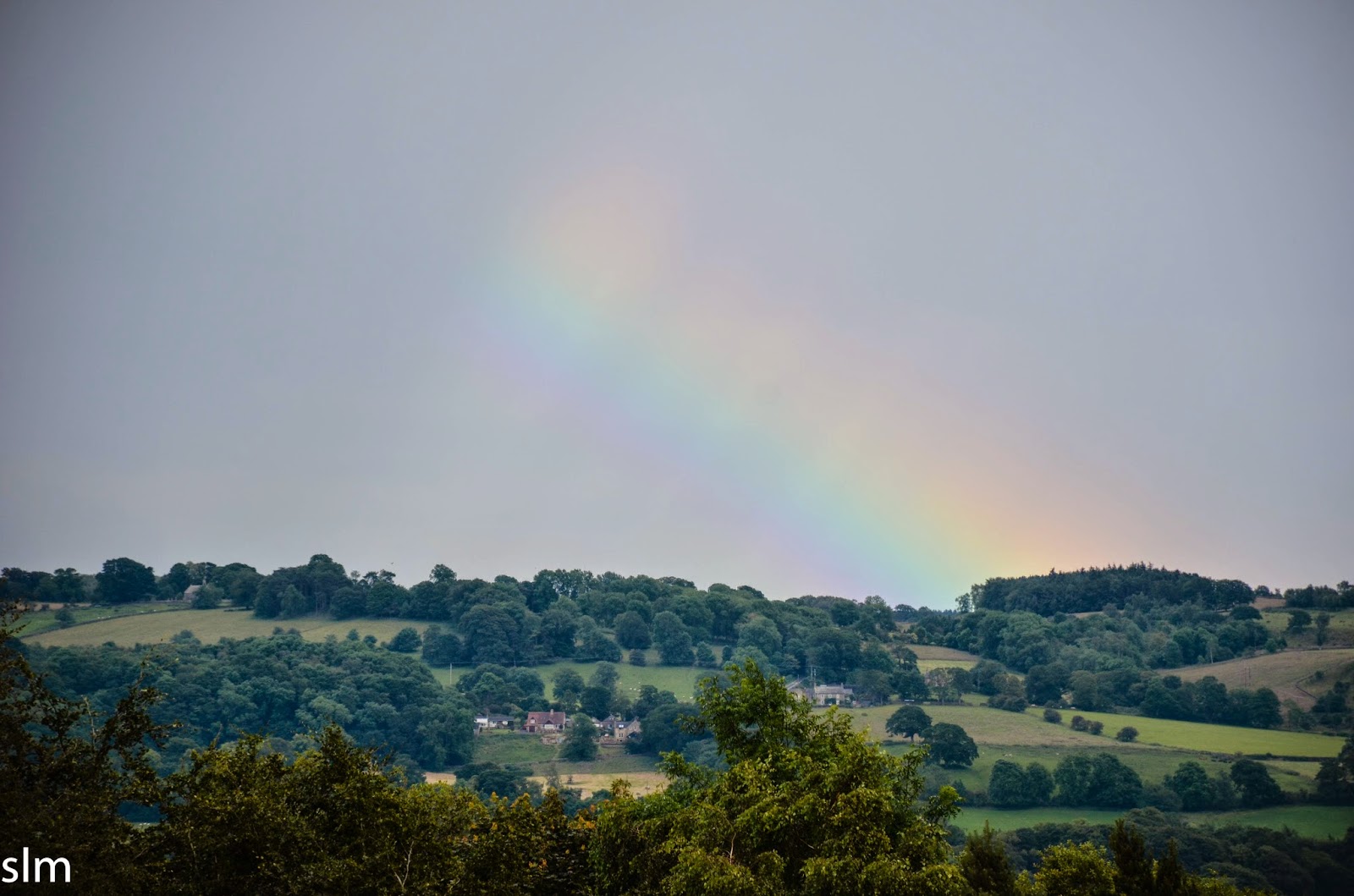
Those views!


We knew we were getting close to Housesteads because of the sudden flux of people on the trail, many of whom were wearing "church shoes" and came up the hill for the photo ops, and a few intrepid families walking to the next milecastle, perhaps to defend it from barbarians.

 |
| A chaffinch, a very common but lovely bird |

Communal latrine! You can hold hands while taking care of business, making sure you never went a moment of your day devoid of company.

It's worth a stop in- I think we spent about an hour there before the threatening skies encouraged us to get moving again.

This is where the wall is at its highest- it's truly a formidable barrier, and 3 meters wide.
Here is the section of wall looking back on the Fort walls, with people standing on them:


This was the loneliest part of the trail. It really did feel like the frontier.

Oh, and those storm clouds: how dramatic! We put our rain gear on and it began to pelt huge furious drops.


 |
| Sewingshields |
 |
| Lapwing |

The skies cleared soon enough, and it was back to peaceful, but windy hiking for our last big climb up Sewingshield crags. This was the view from the top:

OOOH-whee, that's quite a bit of hills. I love how the wall looks like a spine, making sure you know exactly what kind of climbing you just put behind you.


Quite sadly, it was all downhill from here as you descended back down through fields and farms to follow the B road. But man, that was a great two days of hill hiking.
 |
| Jackdaws |


We hit another fort, Brocolitia. This one was just an earthen mound on top of a flattened hill, but they did have a really intact temple next to it.

We got there just in time for a busload of people on an archaeological tour arrived, and eavesdropped on the lecture about the cult surrounding the temple- a god borrowed from far-off Persia.


And then, the trail got kind of boring as we followed closely alongside a busy B road for the next 5 miles and we left the jurisdiction of Northumberland National Park.


There was very little wall here at all, but occasionally a small section would be preserved.

The trail got even bleaker as the it turned onto a sidewalk that followed the paved road the last two miles of the hike, with very little of anything to see. They do a good job of making sure you have a sidewalk on this otherwise underpopulated part of England, but it's never fun to walk along a highway. This was boring to me, and the thought of hitchhiking into town or calling a cab crossed my mind more than once just to save the feet a beating. We passed the town of Chollerford and followed the sidewalk as the trail turned south.
We made our way to the tiny hamlet of Wall, where we were staying at the local pub right off the trail. We did 16 miles in the end- more than half, very hilly, the rest, roadside and gentle slopes, and more than two miles on and insufferable tarmac. We were tired and happy to be off the feet, and that good healthy glow about us that comes with so many miles behind you.
Tomorrow, more hiking. It gets slightly better.
No comments:
Post a Comment